|
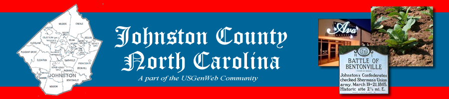
Johnston County was formed from Craven in 1746 and
named for Gabriel Johnston who was the royal governor
of North Carolina from 1734-1752. It was later used
to form parts of Dobbs, Orange, Wake and Wilson counties.
With a total area of 796 square miles and an estimated
population of 185,660 in 2015, Johnston County is one
of the fastest growing counties in the United States.
Although it's value to surrounding counties is clear,
Johnston County genealogy has also been a necessary
resource for many southern descendants who are searching
for their forefathers, many of which settled briefly
in Johnston County before continuing their journeys
to other Southern states.
Towns: Archer Lodge, Benson, Clayton, Four Oaks,
Kenly, Micro, Pine Level, Princeton, Selma, Smithfield
(county seat) and Wilson's Mills
Townships: Banner, Bentonville, Beulah, Boon
Hill, Clayton, Cleveland, Elevation, Ingrams, Meadow,
Micro, O'Neals, Pine Level, Pleasant Grove, Selma, Smithfield,
Wilders and Wilson's Mills
Unincorporated Communities: Allens Crossroads,
Bagley, Cleveland, Emit, Flowers, Grabtown, Hocutts Crossroads,
Jordan, McGee Crossroads, Peacocks Crossroads, Powhatan,
Spilona, Stancils Chapel, West Smithfield, and Willow
Spring |